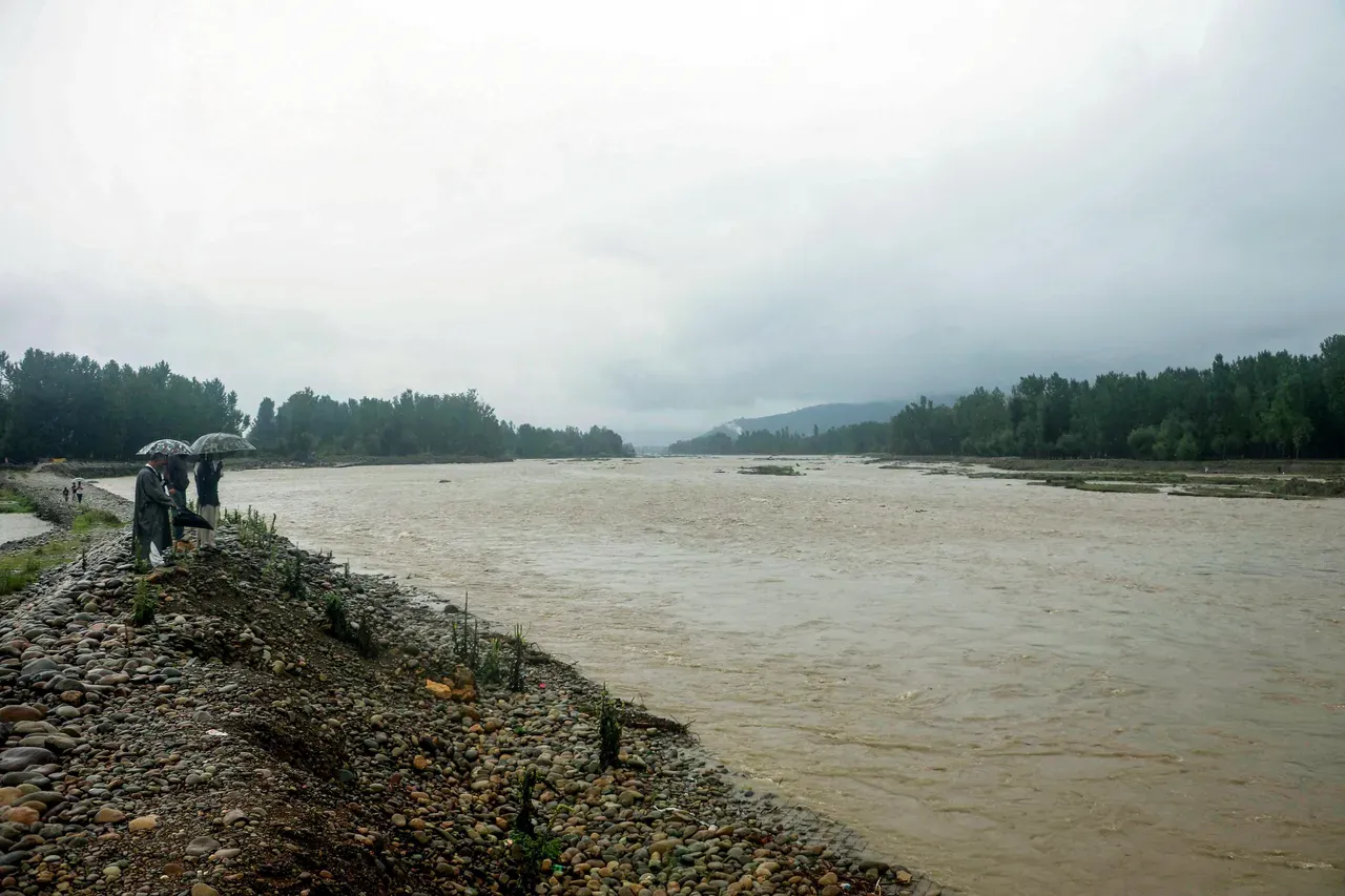
Srinagar, Jul 23: The flood threat looms across the Valley and at several places in the Jammu division as the water level in the river Jhelum and other water bodies crossed the flood alert mark, prompting the government to keep its men and machinery ready to tackle any emerging situation.
Kashmir's lifeline, the Jhelum, was flowing above the flood declaration mark at Pampore and Ram Munshi Bagh by 9:00 pm, while the Sheshnag Nallah in Pahalgam was flowing above the danger mark. According to details, the ongoing wet spell in Jammu and Kashmir has increased the water level in various water bodies. The water was flowing above the flood alert mark in the Chenab river as well, and families living close to the water body have been evacuated to safer places.
Officials said that the SDRF has evacuated four to five families living near riverbanks and continued round-the-clock patrolling. An advisory was also issued, asking people to stay away from rivers and streams.
As the water crossed the flood alert mark, the Irrigation and Flood Control (I&FC) Department issued an advisory to the public, asking them not to venture near water bodies. It was stated that the water levels at the Sangam and Ram Munshibagh monitoring stations are expected to reach the warning level shortly.
The Chief Engineer of the I&FC Department, Kashmir, Showkat Hussain, directed all officers and officials from other departments of South and Central Kashmir assigned to flood duty to report to their respective duty locations without delay.
Rainfall continued at multiple places across J&K, with south Kashmir witnessing moderate rainfall intermittently throughout the day, while the intensity declined in Srinagar and other adjacent areas. Moderate rainfall was also witnessed in the Chenab valley and a few places in the Pir Panjal Range.
Significant rainfall of 119.5 mm was recorded at Reasi in the past 24 hours (till 8:30 AM), followed by Samba with 97.4 mm. Jammu recorded 60.6 mm, Gulmarg 39 mm, Batote 60.4 mm, Baramulla 30.5 mm, Rajouri 32.6 mm, Ramban 71.5 mm, Pahalgam 60.2 mm, Kokernag 47.9 mm, Qazigund 73.3 mm, and Srinagar 15.6 mm.
Moreover, during the period between 8:30 am and 5:30 pm, Srinagar recorded 0.5 mm of rainfall, while Qazigund recorded 20.2 mm, Pahalgam (7.4 mm), Kokernag (18.8 mm), and Gulmarg (10.6 mm) in the Kashmir division. In the Jammu division, Batote station witnessed the highest precipitation of 53.9 mm during this period, while Jammu recorded 8.2 mm, Banihal (20.6 mm), Katra (9.2 mm), and Bhaderwah (48.2 mm).
Meanwhile, the rains brought the mercury further down, with maximum temperatures continuing to settle below normal at multiple places. Srinagar recorded a day temperature of 21.6°C, Qazigund (19.5°C), Pahalgam (17.5°C), Gulmarg (16.6°C), Jammu (28.4°C), Banihal (20.2°C), Batote (19.9°C), Katra (25.6°C), and Bhaderwah (19.1°C).
Director of the Meteorological Department (MeT), Dr. Mukhtar Ahmad, in a detailed forecast, said that a spell of light to moderate rain is expected at many places during the early morning and may intermittently continue till the afternoon of July 24, improving thereafter. Ahmad further said that a spell of rain and thundershower is expected at scattered places, with brief intense showers at a few places in the Jammu division from July 25 to July 27. He added that a fresh spell of moderate to heavy showers is most likely to occur in the Jammu division from July 28 to July 30.
An advisory has been issued by the MeT, stating that there is a possibility of moderate to heavy rain and brief intense heavy showers in a few districts of south Kashmir and a few districts of the Jammu division during July 23 and July 24. It reads that there is a possibility of flash floods, landslides, and mudslides in a few vulnerable places, while a rise in water levels in rivers and tributaries is expected during the next 12 hours, with a gradual decrease thereafter.